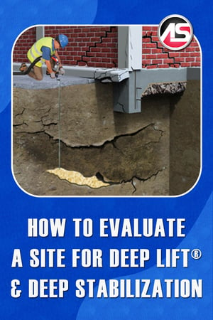
 For any Deep LiftⓇ or deep stabilization project, we want to gather as much information as possible about the project site. This information falls into a few different categories, in no particular order:
-
The Cause(s) of the Settlement or Void
-
Information on the Structure
-
Geotechnical Data
-
General Observations and Measurements
-
Site Evaluation Tools
Now I will break down each category into a checklist.
The Cause(s) of the Settlement or Void
It's important to identify the Causes of Settlement in a structure so that you can do a proper repair and not have the problem reoccur. Things to look for include:
- Broken pipes - is there a known plumbing issue, has it been resolved, have the drainage lines been scoped, are there unusually high water bills, have the owners observed persistent, soggy ground?
- Are there stormwater or sewer culverts that run below the property?
- Is there a seawall, retaining wall, or bulkhead supporting soil in the vicinity of the building?
- Downspouts and gutter issues - do the downspouts discharge onto the ground next to the building or into pipes, are those buried drain pipes intact, are the gutters large enough to convey the rainwater to the downspouts, or do they overflow onto the ground next to the building?
- Are there any known trash pits or large trees that have been taken out next to the building?
- Do the building owners know any history about the site, was this building constructed on land that was already suspect? Any kind of history you can get is valuable information.
- Are there site drainage issues like water runoff coming in contact with the building?
- Is there evidence of poor compaction?
- Have there been any construction projects next to the property where dewatering has been done?
Information on the Structure
What kind of structure are we proposing to stabilize or lift? Information about the Structure includes but is not limited to the following:
- Are there drawings, plans, or as-builts, for the structure? Particularly we are interested in what kind of foundation the building is on.
- Is the structure on pilings?
- How deep are the footings?
- How wide are the footings?
- Are there interior strip footings?
- Do the interior slabs rest on the footing or are they floating slabs?
- What is the footing construction - poured concrete, concrete block, a combination of block on top of concrete?
- Is the building structure made of wood, block, steel frame, poured concrete, a combination?
- Is there siding or a brick facade on the building?
- Is it a single or multi-story building?
- Where are the plumbing and other utilities located?
- Are there overhead power lines?
- Can you reach the areas to be grouted with your equipment, do you have enough hose?
Geotechnical Data
Sometimes it is impossible to determine the causes of settlement without getting a Geotechnical engineer involved. The kinds of Geotechnical Data we are looking for include:
- Surveys
- Dynamic Cone Penetrometer tests (DCP)
- Hand auger results
- Standard Penetration Test borings (SPT's)
- Soil profile reports - these tell you compaction, soil type, and water table elevation
- Ground Penetrating Radar (GPR) scans
Observations and Measurements
Finally, we need to put our Observations and Measurements together so we can complete the estimate, determine the full scope of the project, and set customer expectations accordingly.
- How much has the structure settled?
- Is the roofline affected?
- Is the brick or block separating, are there stair-step cracks?
- How many square feet of the interior slab has settled, how many inches down?
- Perform soundings on the slab to determine if there are voids underneath.
- Drill holes and use a probe or borescope camera to look underneath.
Tools for Site Evaluation
Of course, it is hard to get some of this information without the proper Tools for Site Evaluation.
- Measuring wheel.
- Camera for still pics and for video (I like to narrate my observations while I video record my walkthrough. That way I don't have to remember what each still picture means.
- Measuring tape.
- Rotating laser with transit stick - or use a Zip Level to measure elevation changes.
- Flashlight.
- Drill.
- Soil probe.
- Borescope camera.
- Drill hole patching material
- Laptop, tablet, or a notepad and pen (for recording your information).


